I just opened up Google Maps to research an upcoming story and noticed that there was a new button available for our area: Street View. It’s been available in other cities for a couple of years, and earlier CHS reported that the Google camera cars were spotted in Seattle. Now it’s all turned on for everyone to view.
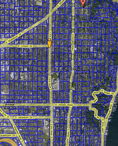
And boy do they have it covered, as you can see from the screen shot I’ve attached (the blue lines on the map show all the streets that are covered). Every property on every street is in their system, and now everyone can see your house and how it looked sometime during the summer of 2008.
It’s cool technology and should make some of our work a bit easier, but I can’t shake the feeling that the depth of coverage maybe goes a step too far. Anyone else feel the same way?
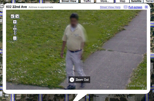
And how many of you can spot the maybe-blurred-out faces of some of your neighbors?


Pretty sure these were captured last fall ~October 07, judging by the color of the leaves and that my neighbors house wasn’t painted yet, which occurred this summer.
I’m sure it takes them a little while to process everything, so that roughly makes sense.
The one of our house is definitely from this summer – it shows our (new) neighbor’s car, and the leaves are fully out, but all are green.
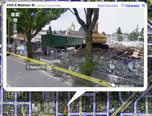
As near as I can tell, some of the views of the same “address” are from different dates. In some views of the property at the northeast corner of 13th and Marion there is a house, and in others there is not. That house was flattened on August 9 and 10,2008.
In the view of our place, one big “time stamp” is that our fence and tree are knocked to the ground. So this dates the photo pretty precisely to mid- to late-October 2007, shortly after that big windstorm.
For whatever it’s worth, my house is fall, too: lots of leaves on the ground, and it starts getting foggy as you go up Madison toward Capitol Hill.
Pretty effing scary, but hasn’t this technology been around for a while?
I can actually see my cousin on the sidewalk of my aunt’s house.
Scott…thanks for posting this! I’ve seen this for other small cities before…glad they finally got Seattle on there.
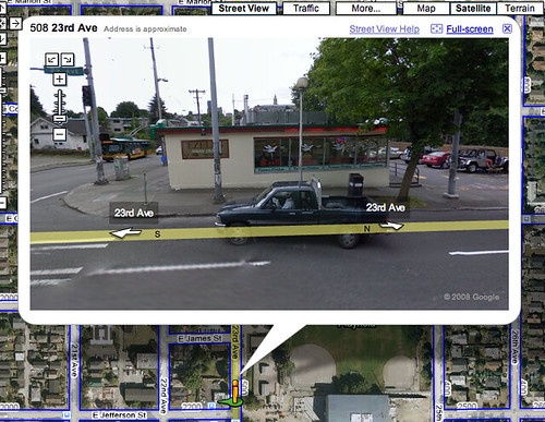
Yes, these are definitely taken at different times…either Oct 2007 or this summer. Just go to the intersection of 23rd & Union. If you head EAST on Union, everything changes from sunny with green trees to slightly foggy and fall leaves. Also note that gas at the 76 station on 23rd/E. Union is showing $4.45/gallon (Summer 2008)…where the Shell on E. Madison/Lk WA Blvd is showing $3.25/gallon (Fall 2007).
I know that my house was done for sure in early October because my car that I bought in mid-Oct is not in the picture and the townhouses on 25th between Union and Pike are still under construction in the pictures…they are done now.
I remember seeing the car with the funny camera periscopes drive down the street this past summer and sure enough there is the kid and myself on our bicycles in front of the house watching it drive by. Kind of a weird feeling…
The face fuzzing software is interesting. It doesn’t always detect the right target (will fuzz a person’s hip rather than face), and will also fuzz out faces on murals (check out the mural on the W side of TPOV, seen from 23rd).
You can see some traffic circle work being done at the intersection of 20th and Marion, which was done June/July this summer.
That part is amazing from an algorithm standpoint. They do license plates too, and for some reason they often get false positives on car wheels.
Is that my cat?